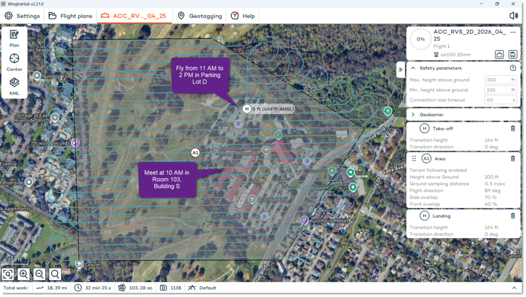
Interested in using drones to map your world? The ACC Geographic Information Systems (GIS) and Geospatial Engineering (GE) programs are hosting an ACC Drone Demo Day this Saturday, April 25th from 10 AM to 2 PM at the ACC Riverside Campus. Here’s a general event agenda and map:
10 AM – Meet in Room 103, Building S to introduce drone mapping data products, production workflow, and standard operating procedures (SOP).
11 AM – Move to Parking Lot D (behind the campus buildings) to set up and fly the WingtraOne GEN II Vertical Take-Off and Landing (VTOL) drone with the nadar 2D ortho camera payload.
12 PM – In Parking Lot D, fly Wingtra VTOL drone with oblique 3D mesh camera payload.
1 PM – In Parking Lot D, fly Wingtra VTOL drone with nadar multispectral camera payload.
2 PM – Pack up!
The weather looks good with clouds early and partial sunshine late. High 89F. Winds SSE at 5 to 10 mph. Be sure to dress for the weather – comfortable clothes, shoes with hat and/or sunscreen. Folks are welcome to stop by at any time during the day. Additionally, ACC Marketing Photographer Cata Abagiu will be joining us and he’s asked that I share this link to the ACC electronic consent form for students planning on attending: austincc.edu/photoconsent. See you on Saturday!